Boundry Waters Navigational Tools
Navigating the boundary waters of lakes and rivers can be a daunting task. But with the right navigational tools, you can make your journey straightforward and enjoyable. In this article, I’ll explore several methods for navigating the boundary waters that will help make your journey easier. From compasses to GPS systems, there are plenty of ways to find your way in these expansive waterways. I’ll provide an overview of each tool and its strengths so that you can decide which one is best for your needs. So let’s get started on our exploration into navigation in the boundary waters!
Compasses
Navigational Tools
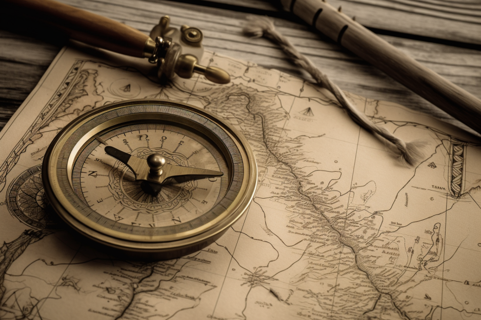
Compasses are great for helping you find your way out on the open water! This navigational tool has been used since ancient times, allowing seafarers to understand their surroundings better. When using a compass, it is important to orient yourself with the sunrise to get an accurate reading. The polar star can also be used as a reference point when navigating by night. Compasses give us the confidence to explore new waters and find our way back home, making them an essential part of any nautical journey. As we move forward into the area of map and chart navigation, let’s see how this tool can provide further assistance.
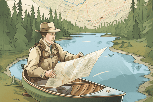
With a map and chart, you can navigate the waterways like a pro! Whether backpacking trails or sailing the seas, having an up-to-date map and chart is essential for successful navigation. With these tools, you can easily identify your route’s landmarks, hazards, and other important features. You can also use them to plan out your journey ahead of time so that you know exactly where you are going. Additionally, many navigation apps are available that allow you to access maps and charts on your phone or tablet while on the go. This makes it even easier to stay on track when exploring new waters. By combining traditional paper maps with modern technology, navigating the boundary waters has never been easier!
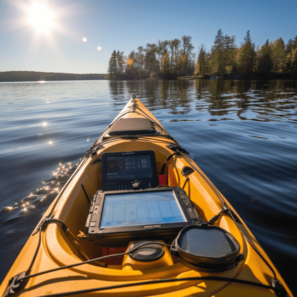
GPS Systems
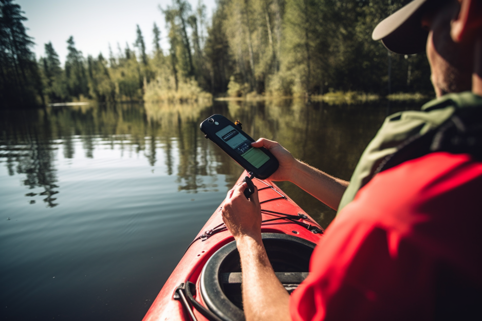
You no longer need to be a navigational wizard; with GPS systems, you can easily find your way around like a pro! You can now navigate the waters of Boundary Waters with the help of modern GPS devices. From finding your way in the darkness of night to forecasting weather patterns, these devices have features that can prove invaluable for any navigation plan. Here are some features of GPS systems that make them ideal for navigating Boundary Waters:
- Easy-to-use interface – With an intuitive user interface and clear menus it’s easy to use even for the novice navigator.
- Accurate location tracking – Track your route accurately so you never lose your way or miss important landmarks along the way.
- Weather forecasting – Real-time weather information helps you stay one step ahead when navigating through adverse conditions.
- Night navigation – Illuminated displays allow for safe and efficient navigation even in total darkness.
GPS systems are an essential tool for any navigator on Boundary Waters, allowing them to safely traverse its waters and remain informed about their environment at all times. With these helpful tools, navigating this vast area is no longer intimidating! Transitioning seamlessly into other navigation aids is as simple as using one of these modern devices!
For those looking to explore beyond GPS systems, other navigational aids like compasses and maps can be handy. These tools are essential for a successful journey when navigating the Boundary Waters. Compasses provide an easy way to orient oneself with the cardinal directions and help keep track of one’s location. Maps are also crucial for understanding the terrain and finding landmarks to use as reference points when navigating. Animal tracking is another useful tool for exploring the Boundary Waters; following animal trails can discover hidden areas that may not be accessible by kayak or canoe. These navigational aids provide invaluable assistance when exploring this vast wilderness area.
Frequently Asked Questions
Navigating the boundary waters can be daunting, but with some map-reading and GPS tracking savvy, you can make your way through confidently. Having an intimate knowledge of the terrain is essential to successful navigation, and I have spent many hours poring over maps and studying my surroundings to get an edge. Knowing how to read topographic maps, check satellite images for landmarks, and track my location using GPS coordinates are skills I have developed over the years while exploring this vast area. With these tools at my disposal, I can confidently traverse the wilds of the boundary waters with a feeling of belonging and purpose.
Navigating in the great outdoors requires you to be prepared for anything. I always bring a map and compass to ensure safe and successful exploration. Map reading is essential for understanding where you are and where you need to go. Having a compass helps ensure your journey is accurate, as it will provide cardinal directions even when there’s no cell signal. These two navigational tools allow me to explore any terrain without getting lost or stranded in the wilderness.
Navigating the boundary waters can be tricky, but it can be done safely with the right tools and knowledge. Map reading, chart plotting, compass use, GPS tracking, and weather monitoring are all essential for successful navigation in this area. It is important to remember that motorized vessels are not allowed in the boundary waters and that there are restrictions on anchoring or mooring boats overnight. Additionally, some areas may require special permits or have restricted access due to environmental concerns. With proper planning and preparation, you can ensure a safe journey through these beautiful waters.
Navigating the boundary waters can be a thrilling and rewarding experience, but it’s important to do so safely. I always brush up on my map reading skills and stay updated on the latest weather forecasts to ensure a safe journey. It’s also essential to bring all the safety equipment necessary for unexpected situations. While exploring these waters, I’m continuously mindful of any restrictions that may be in place due to weather conditions or other factors, as well as exercising caution when navigating unfamiliar waters. By taking precautions and being aware of my surroundings, I can enjoy this unique environment while staying safe.
Navigating the boundary waters can be a thrilling but potentially dangerous experience. I recommend getting certified in orienteering basics and map reading to ensure you’re equipped with the necessary skills to navigate these waters safely. With this training, you’ll learn how to use navigational tools like compasses and GPS systems and understand how to read topographic maps of your intended route. This training should give you the confidence that you are prepared for any navigational challenge that may arise while out on the water.
Conclusion
Navigating the Boundary Waters can be a daunting task, but with the right tools and knowledge, it’s manageable. Compasses, maps and charts, and GPS systems are all invaluable navigational aids that allow me to move around safely in this wilderness area. Other devices like water depth gauges, altimeters, and even radios can help me ensure I’m on course. With these tools at my disposal, navigating the Boundary Waters is more than just a pipe dream – it’s an achievable goal! The key is to use them wisely – like pieces of a jigsaw puzzle – to build a detailed picture of where I am going. I’ll find my way through any challenge with enough practice and patience!